Friday 5th September – Day 1, Melrose to Jedburgh
Okay, so here we go. Woke at 5am – anxious about today’s adventure? I think not. I’d done this dozens of times before, since walking the Pennine Way 19 years ago. But this was to be my first LDF (long distance footpath) since attaining “the age of reason”.
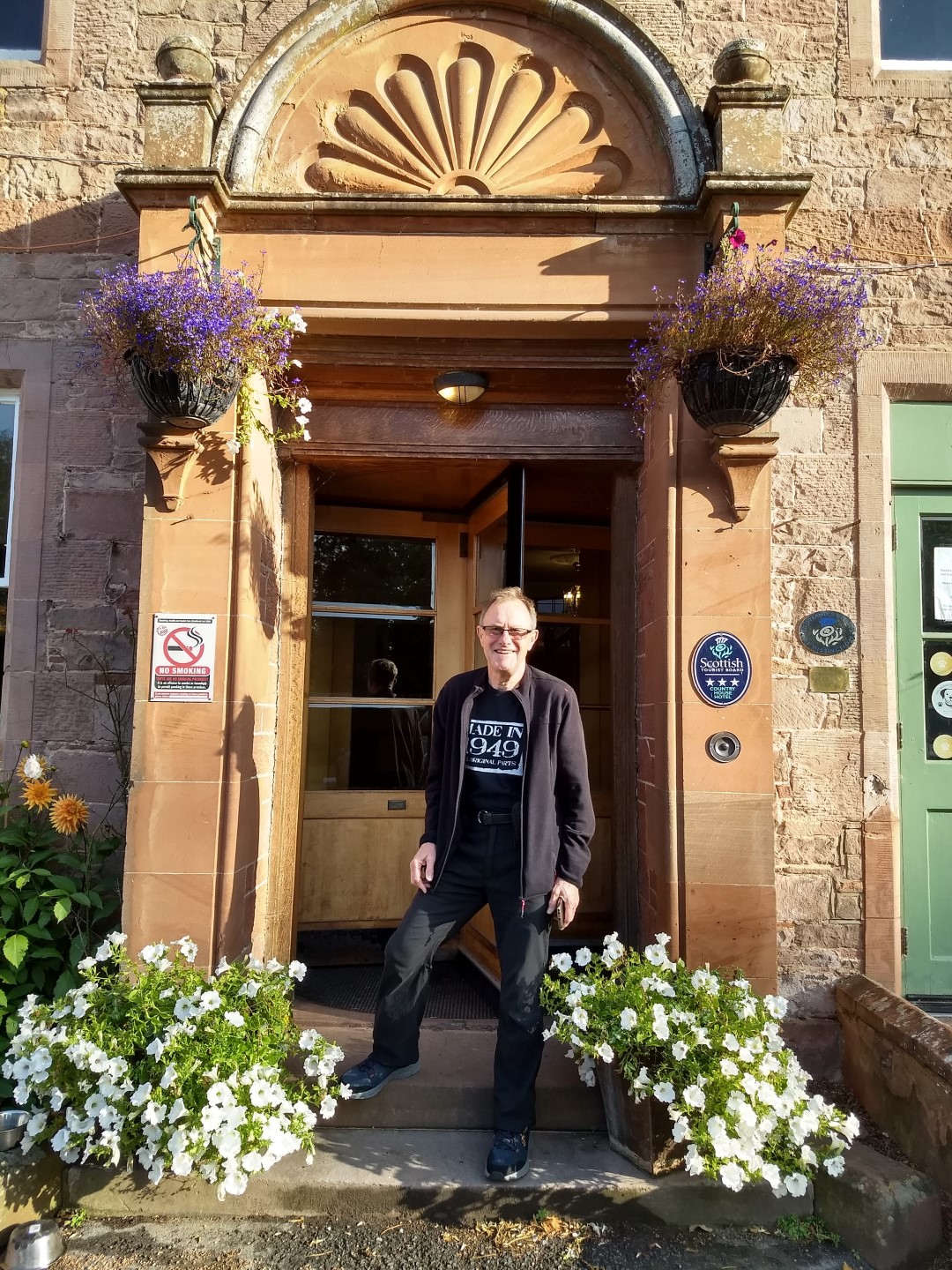
Anyhow, had the first of five full breakfasts (this one Scottish, of course and included haggis, naturally enough). Then, the obligatory photo at the hotel entrance and off in the car to Melrose for the walk back. The weather was fine and dry with no rain forecast and only a light wind – pretty good considering how it had been over the last couple of weeks.
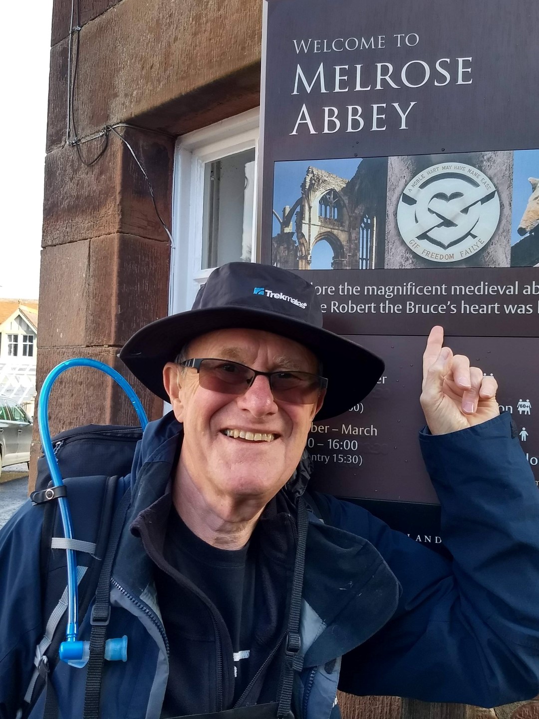
We found the Abbey – not a difficult thing to do in Melrose – and I set off. I was up, up and away (literally), as the SCW immediately climbs out of Melrose at about 70m above sea level to around 320m in the first mile or so. Shortly after going under the by-pass I had a ‘minor navigational malfunction’ but was very quickly back en-route and onto the fine gravel path which heads for the ‘saddle’ between Eildon Hill North and Eildon Mid Hill which, along with Eildon Wester Hill make up the, err Eildon Hills! 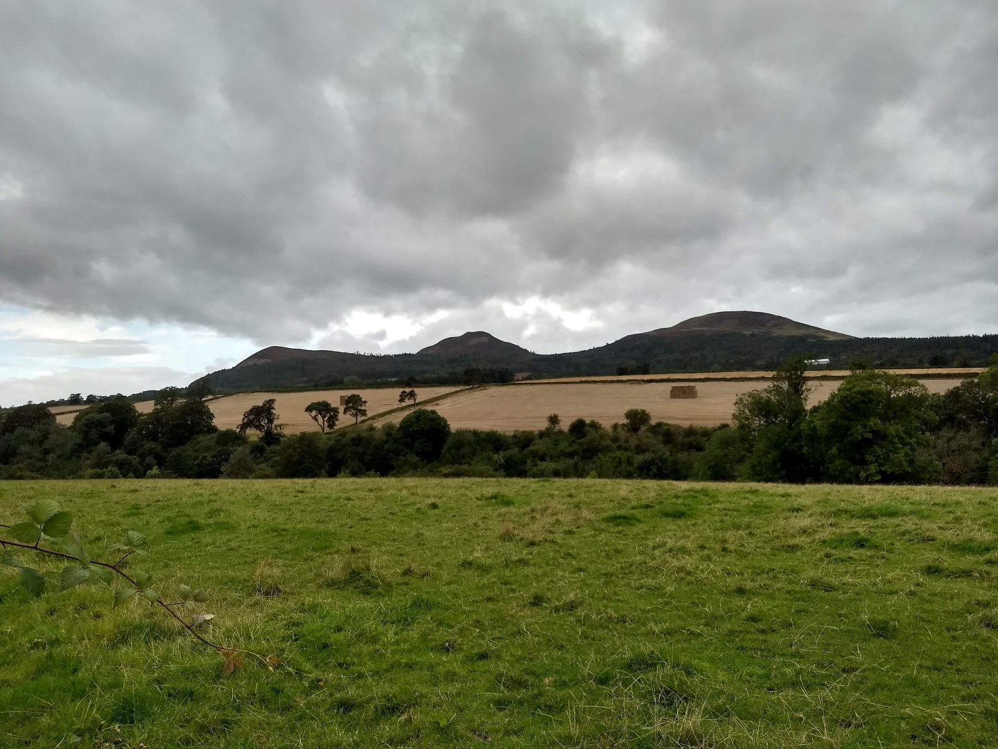 The view of them was to remain with me all day.
There’s the ‘option’ to climb the Eildons but, I thought, “bugger that” and continued. On the way up I met two women also setting off to do the SCW, Pam and Angela I think their names were. We chatted for a while, but they stopped half-way up for a breather as I continued the climb.
After passing over the ‘Eildon saddle’ the Way goes steadily downhill and doesn’t really climb appreciably for the rest of the way into Jedburgh. I walked through beautiful mixed woodland rather than the boring monoculture pine forests that are so prevalent in these parts.
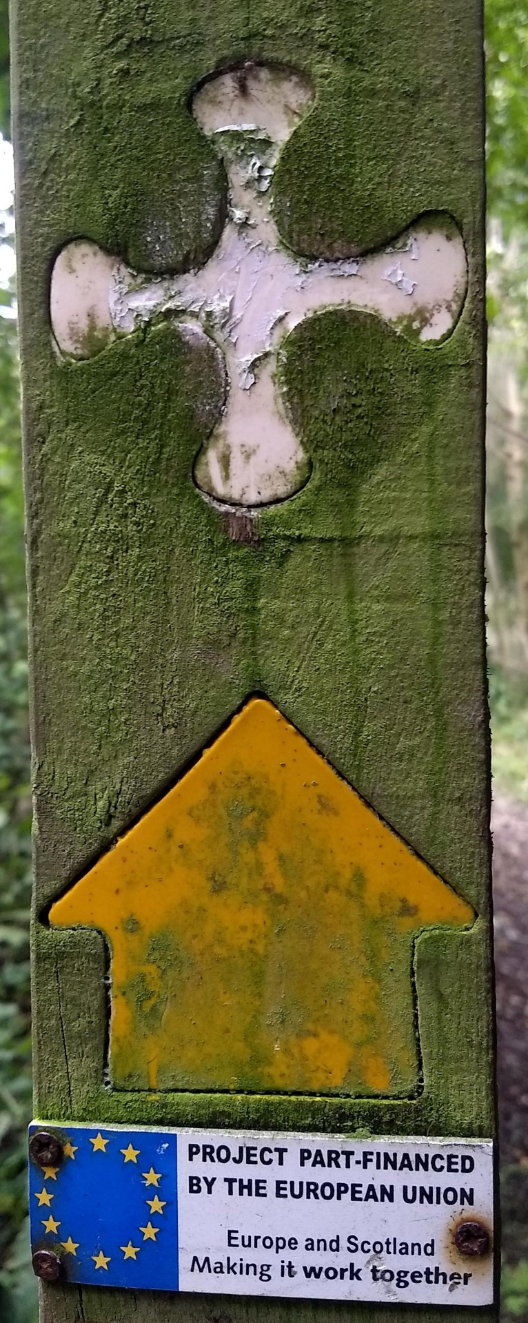 Signposting on the SCW is excellent and it’s very difficult to go wrong (oh yeah?) with markers at just about every turn and many in between. On this stretch there were also numerous places where streams and ‘boggy bits’ were traversed by boardwalks with fancy flights of wooden steps on some of the muddy uphill parts. It was good to see signs proclaiming that the route was part funded by the EU – something that sadly won’t be available in the future.
I walked through the small village of Bowden with an interesting octagonal stone building in its centre which had been a well in former times.
There was then a bit of road walking but, after crossing two further roads, I entered the village of Newton St. Boswells where I passed the local Tory Party offices. WHY is there never a half brick handy when you need one?!
I followed the path down beside the A68 viaduct and onto the footpath which then runs alongside the River Tweed for several miles. After a while I found myself on the opposite side of the river from the Dryburgh Abbey Hotel where we’d spent last night. So, after about 2¼ hours of walking I’d arrived back at today’s starting point!
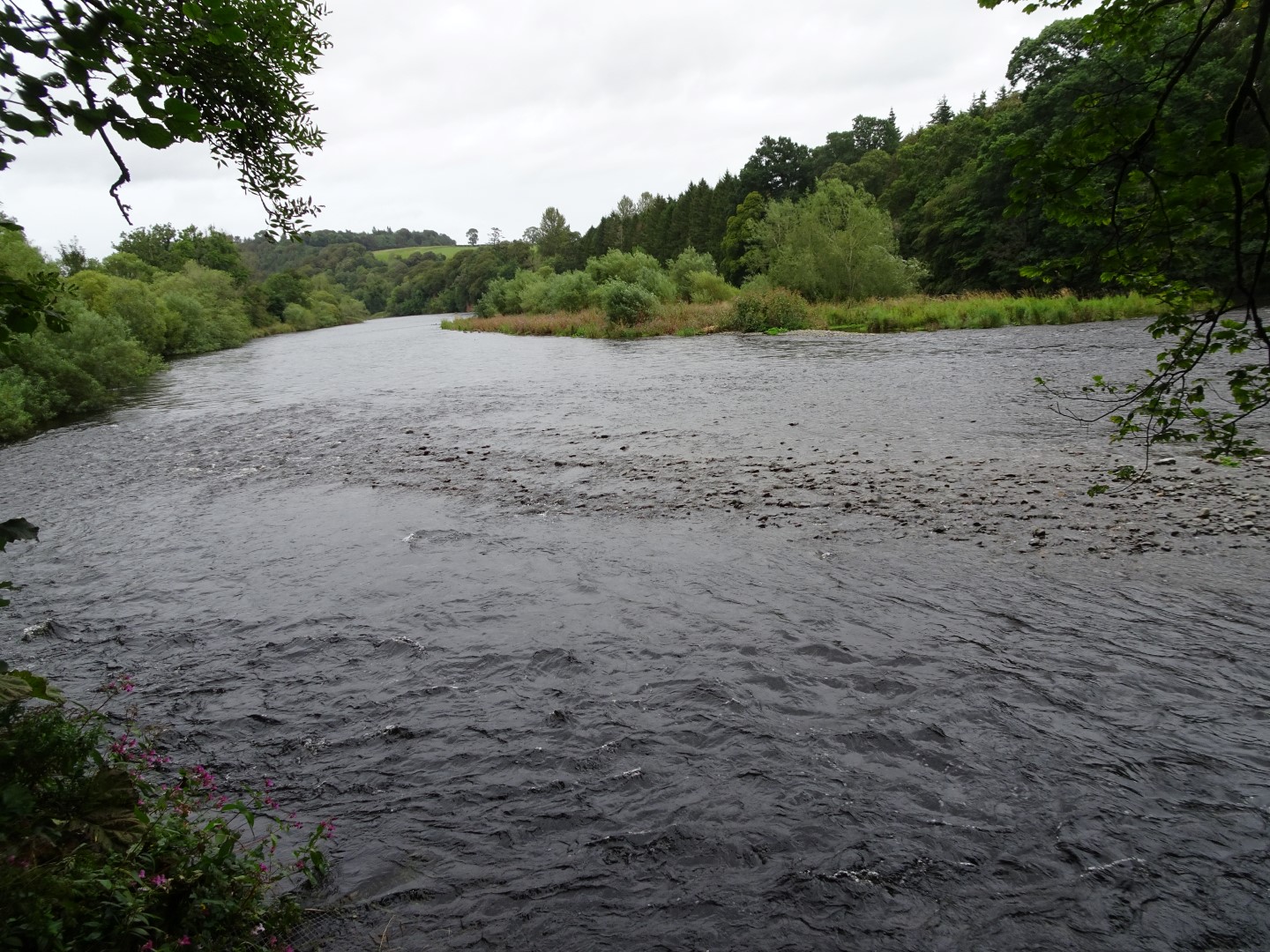 The Tweed is an exceptionally beautiful river and the path undulates beside it, sometimes over boardwalks or up wooden steps, at other times it’s just a stumble over tree roots (memories of the walk up Loch Lomond on the West Highland Way). I can’t say just how much I enjoyed this stretch of the river; it was gorgeous.
I walked through St. Boswells village with its very large English looking green, complete with cricket pitch – of course! In St. Boswells I had another minor ‘navigational hiccup’. But the sign was missing, yer honour, honest! ?. I quickly found the path to the golf course, passed by the club house and alongside the fairways and greens for quite a while. There were several people playing despite the very strong wind that had arisen in the last couple of hours. The SCW and the golf course followed the river for some way until the latter petered out and I had the Tweed all to myself.
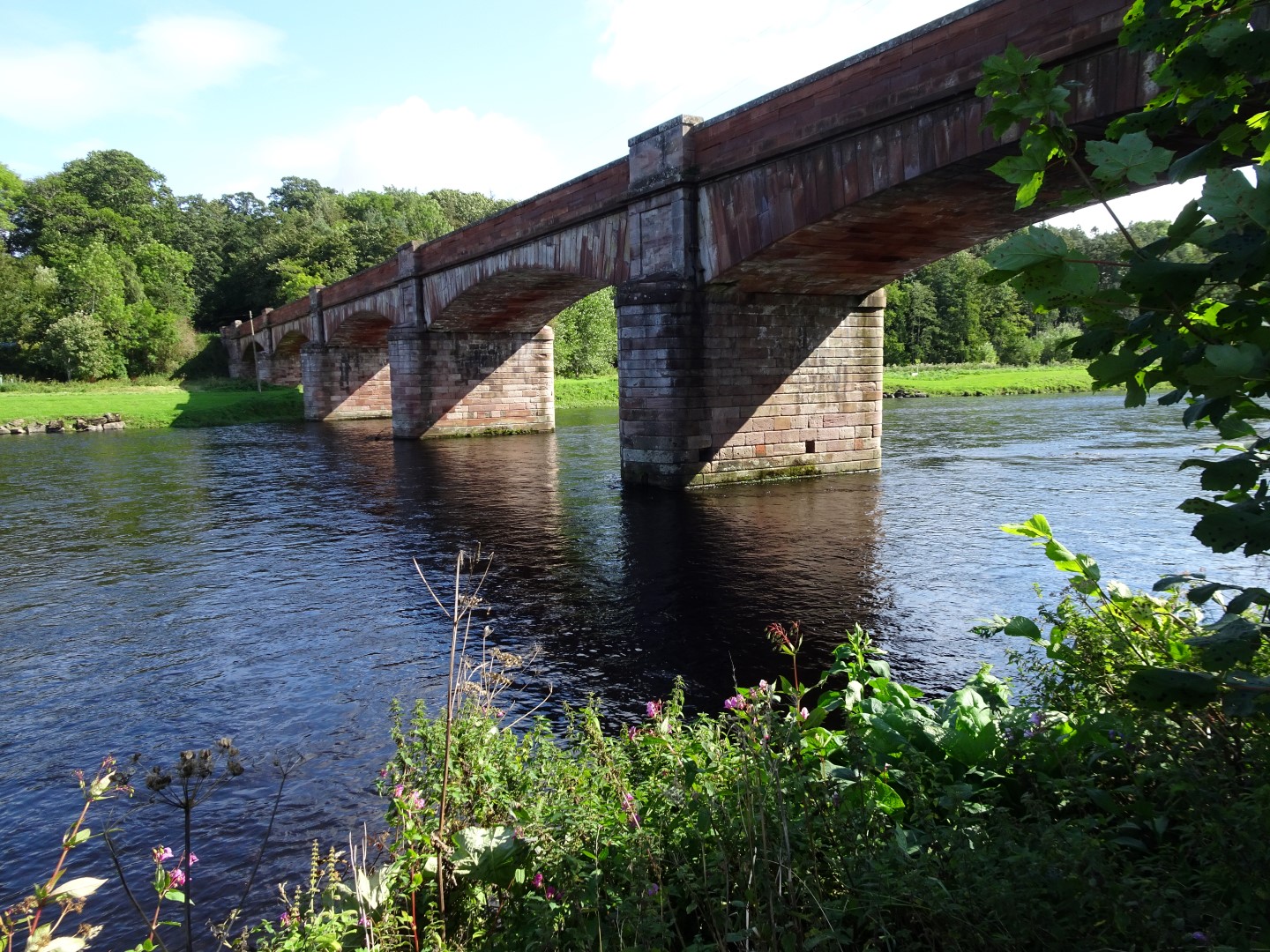 I passed the very impressive stone Mertoun Bridge after a while and had intended stopping for lunch beside the river but there was nowhere to sit so I continued, away from the river and up to the village of Maxton and its church complete a bell, apparently Dutch from the 17th century. After the village I stopped for lunch (or dinner as they say in Lancashire) on a bench beneath a very large and impressive oak tree and my usual walking fare of a butty, apple and banana + black coffee.
There again followed a bit of road walking, which I find not so interesting, so I listened to some music and walked along playing air guitar with my walking stick to The Stones, Rainbow and other similar very loud bands!
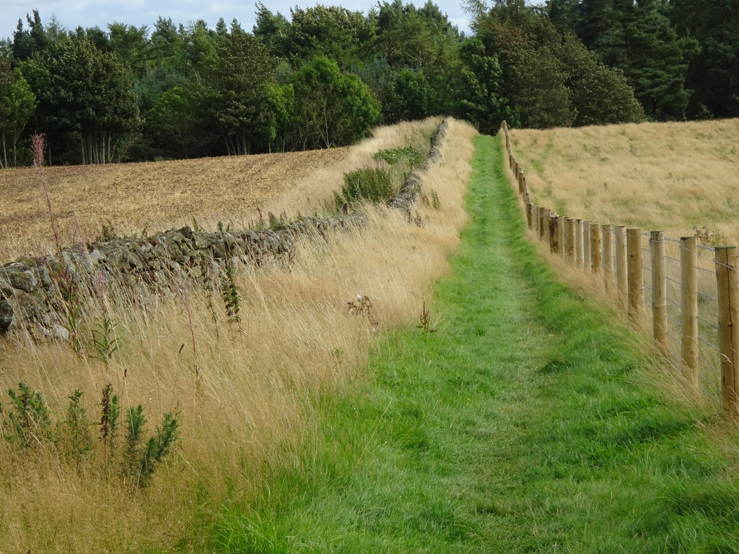 I eventually reached Dere Street, a Roman road, which, as they mostly do, runs almost dead straight for several miles. It forms a strip of green woodland, probably no more than 10 m wide through fields and alongside roads. I reached a very beautiful area of woodland in what was now Teviotdale and shouted as loud as I could “I love this place”. Hopefully there was no-one around but, to be honest, I couldn’t have cared if there was; I was so happy. ?
I stopped briefly at Lady Lilliard’s Stone – a small coffin shaped monument to the legendary bravery of a local woman (presumably Lady Lilliard!) at the Battle of Ancrum Moor in 1545 when the Scots slaughtered 800 of the English army and took 1,000 prisoners.
I continued along Dere Street and into the lovely Divet Ha’ Wood, bypassing the Harestanes Visitor’s Centre where many people end the day’s walk.
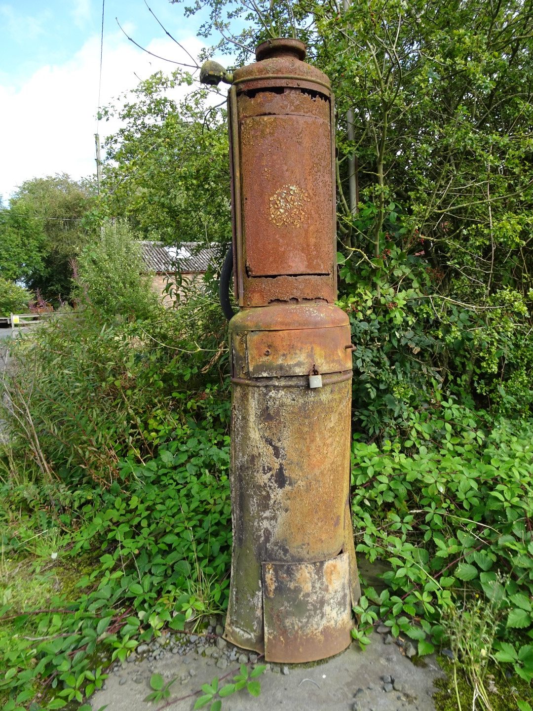
Old petrol pump beside Deere Street
After a couple of kms the SCW joins the Borders Abbeys Way and I followed the ‘joint Way’ for a short while before leaving the SCW and continuing along the latter for the 2½ mile walk into Jedburgh, something that I would have to repeat in reverse in the morning adding five miles to the route. On the way into the town I met two older guys (but NOT older than me, I’m sure) going the same way. They had done part of the SCW in the past and were ‘filling in the missing bits’ during the following couple of days.
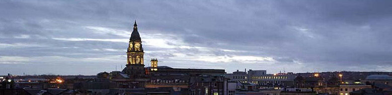
As I walked through the town centre I noticed that Jedburgh seemed rather ‘down at heel’ and nowhere near as attractive as Melrose though it has a very impressive Abbey and a fine castle.
I arrived at the Glenbank House Hotel (a B&B really and very nice) on the far side of the town at about 5:30, pretty pleased with having done over 21 miles with no problems at all.
After the essential cup of tea, boot cleaning, shower and change of clothes (oh the joys of walking with a Sherpa!) we headed off to Ancrum, the nearest place for decent food and good beer! And find it we did at the Ancrum Cross Keys – a fine establishment where we had a good meal and even better beers, despite the sexist named Foxy Blonde!
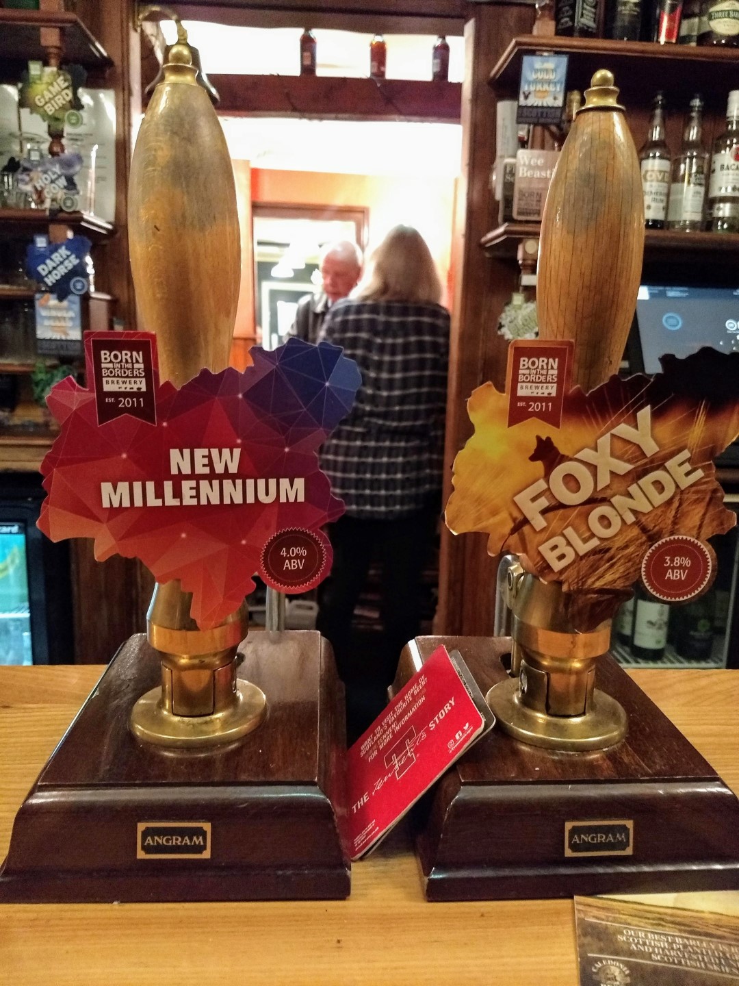
Why is it that brewers insist on giving beers names as ‘Old Slapper’, ‘Gold Digger’, ‘Foxy Blonde’, etc? I know I’m not the only one who feels uneasy about it. Have a read of this!
However, we then headed back to base for an early-ish night and anticipation of tomorrow’s 17 miles to Kirk Yetholm – the end of the Pennine Way with some very fond memories of arriving there 19 years ago.
Day 1 in Summary
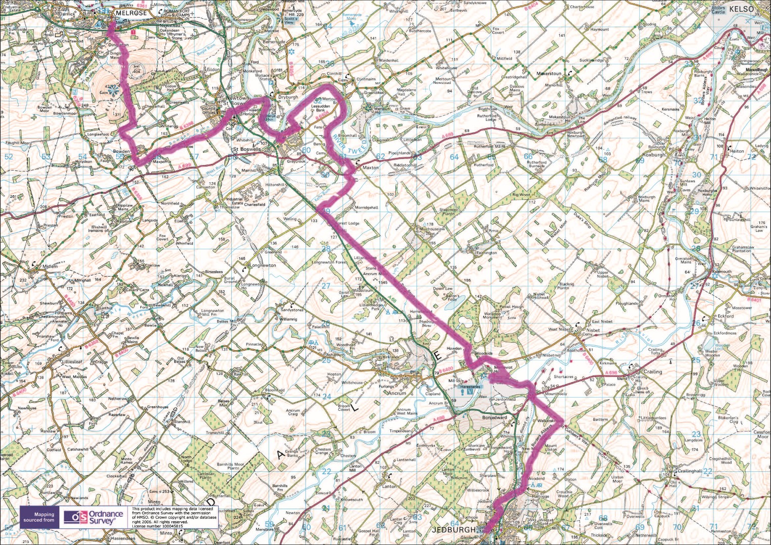
The Route
Elevation
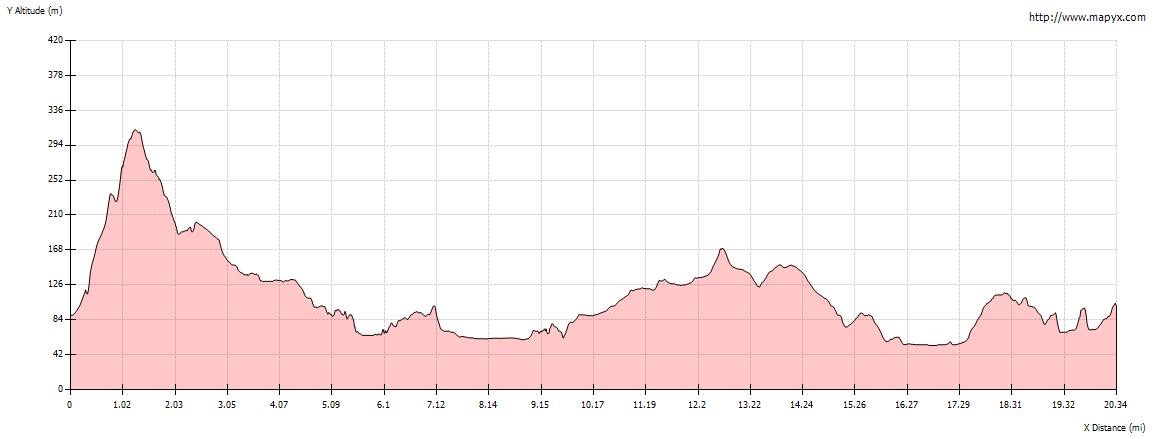
Day 1 Stats
Walking Time Distance Moving Average Ascent Descent
8:13:42 (hh:mm:ss) 21 ml/33.65 km 2.25 mph/3.6 kph 858 m/2,831 ft 847 m/ 1,355 ft
Minimum Elevation Maximum Elevation Calories
48 m/76.8 ft 322 m/1,062 ft 1,479
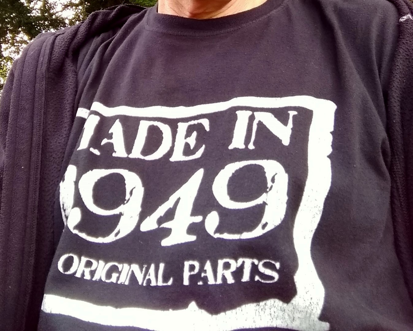
Tee Shirt of the Day
Each day I wore a different cotton tee shirt. In my opinion, especially in cooler weather, they are the best thing for walking in and I even wear them when it’s very hot too. Today’s was a 65th birthday present but as appropriate for this walk as it was then even though, technically, I was ‘made’ in 1948!
Made in 1949 All Original Parts
Some Day 1 Images
[Slideshow "day1" not found]