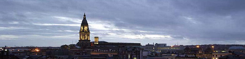
Monday 8th September – Day 4, East Horton to Lindisfarne
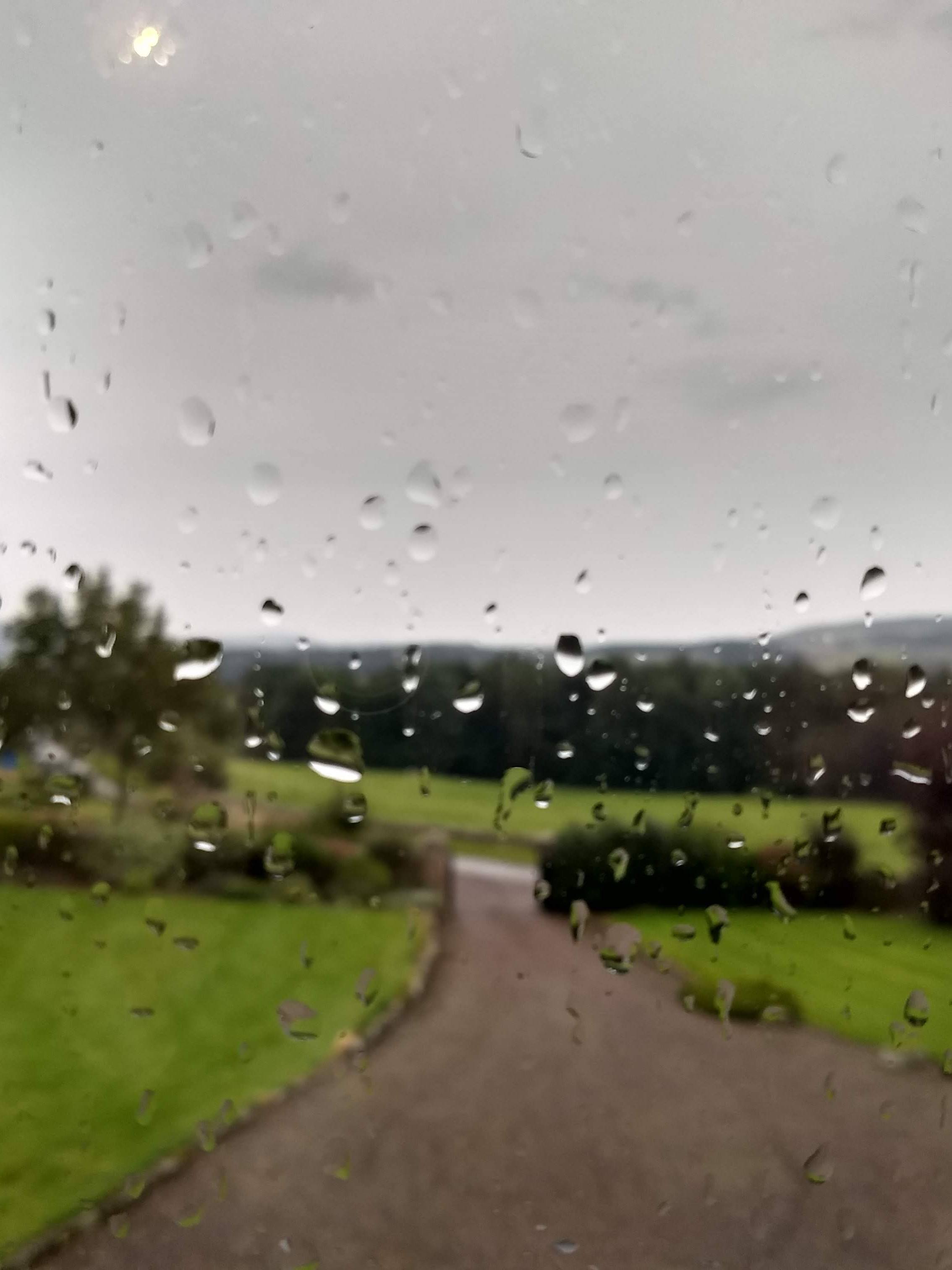
Oh no – the weather let me down, or so it seemed when I roused from my slumbers. It was raining quite heavily and I had visions of plodding through muddy fields in full waterproofs on the 12 miles to the start of the crossing to Lindisfarne/Holy Island but there was time for it to change as I wasn’t planning to leave the “jam and Jerusalem” B&B until 10 o’clock, in the hope that the tide would be just right to traverse the Pilgrim’s route across to the island later in the afternoon.
After the traditional full (English, by now) breakfast I headed off in the rain for the last day of this wonderful walk. At first, I headed uphill along the road and then onto a farm track, climbing all the time. On the way I passed a World War II bunker which seemed rather incongruous but I suppose that the north east was a hive of industry at that time and, had there been an invasion, this would have been one of the areas to have been targeted. It’s probably good that future generations are reminded that a fascist occupation was a complete reality at that time.
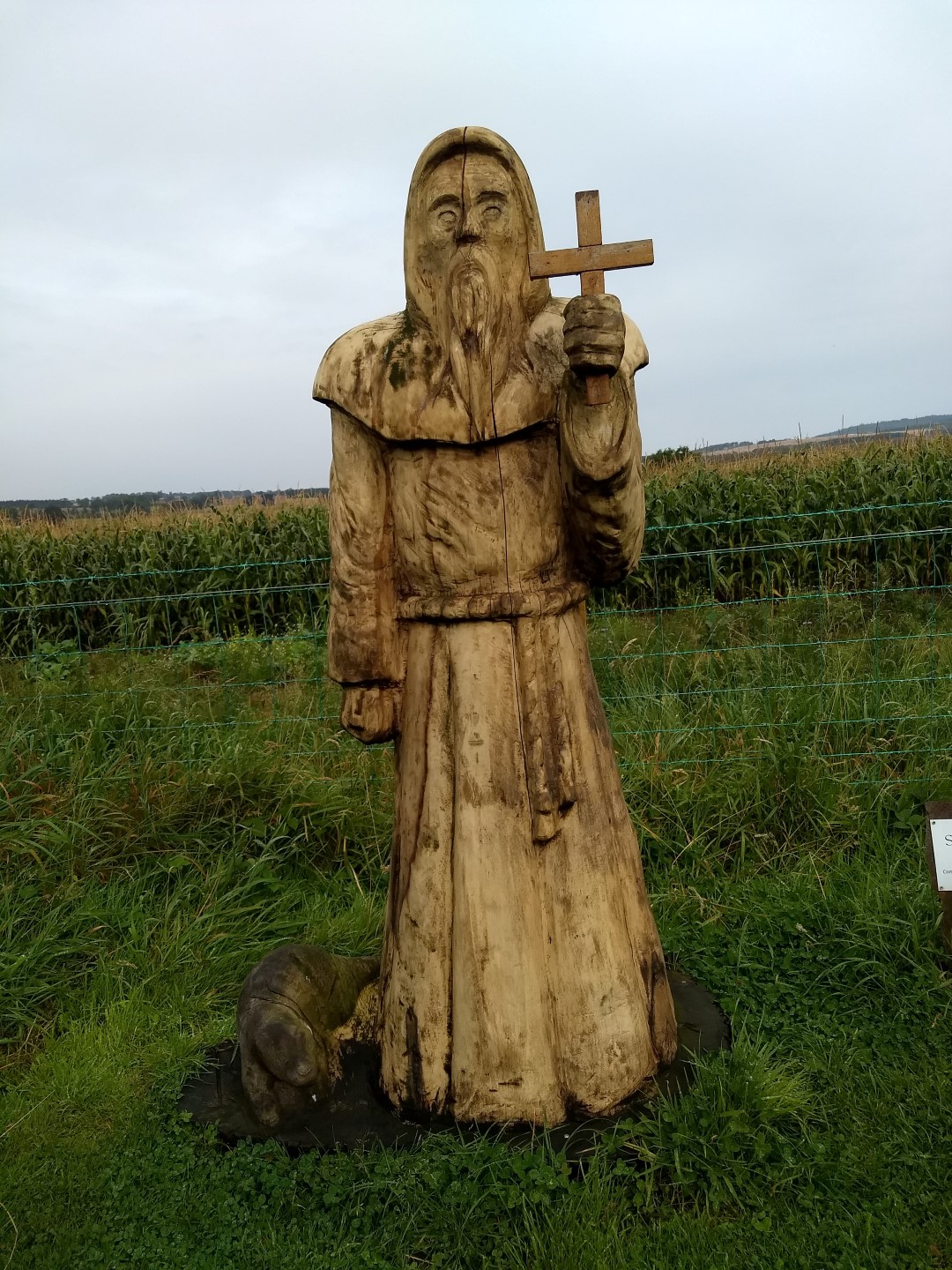 The rain gradually died away and I was thankful to take my ‘rather sticky’ waterproof jacket off, the fleece following soon after, as I continued to climb over Mealkail Knowl and into pretty woodland. I soon came across a very beautifully carved wooden sculpture of St. Cuthbert by the roadside at a small place called Old Hazelrigg. It was quite modern by the look of it but very well done.
The path, still ascending, skirted a number of large fields where the farmer had, interestingly, put up placards explaining the crops being grown, the biodiversity of the land and the efforts being made to protect and enhance the environment. I thought this very commendable.
I entered woods on the side of a pretty hill called Cockenheugh and then into the St. Cuthbert’s cave woods – the first highlight of the day. After a few hundred metres there was a small turning to the right and a path leading to St. Cuthbert’s cave where, reputedly, the monks had hidden their books and St. Cuthbert’s body from the marauding Vikings in 875AD.
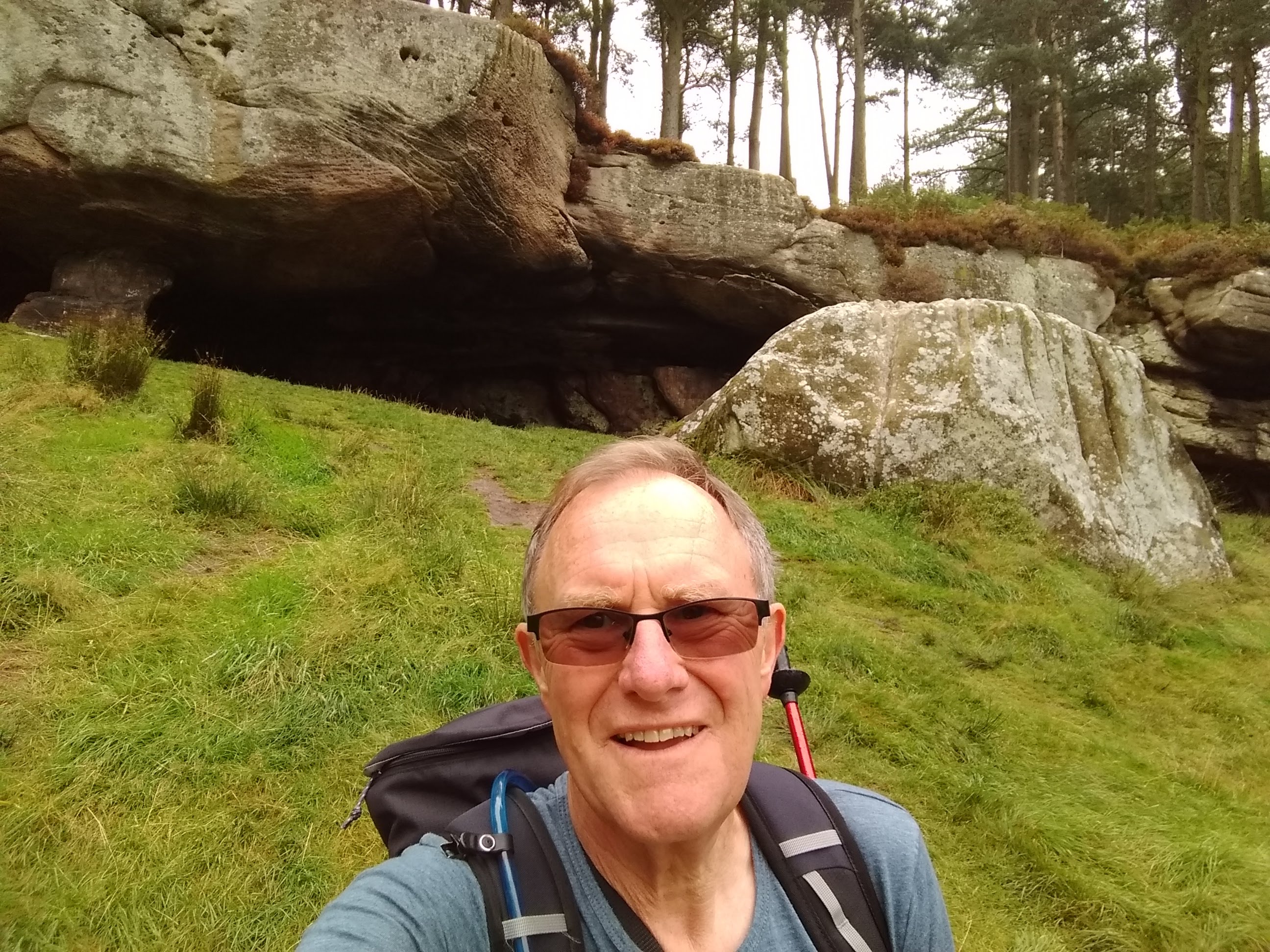
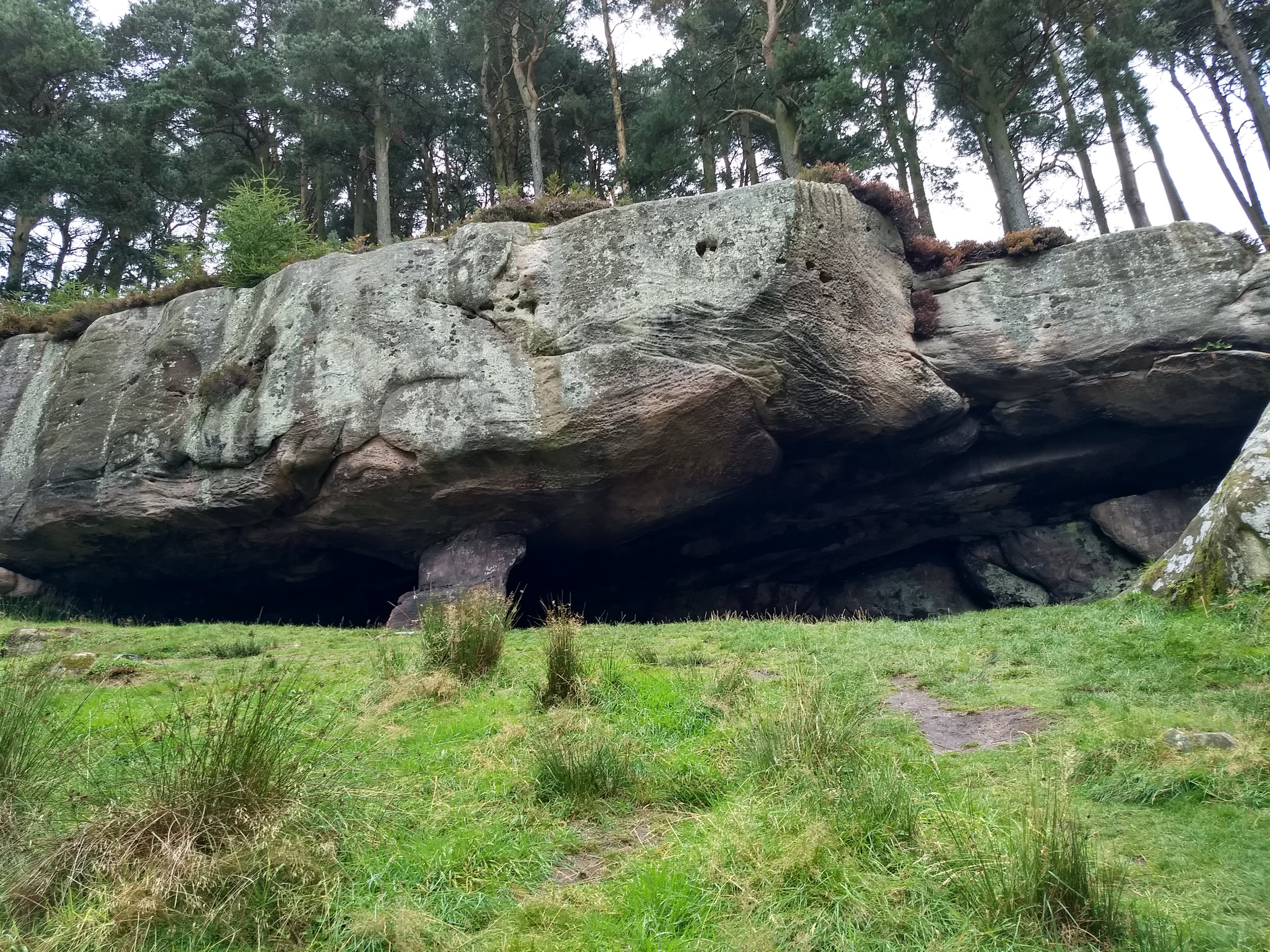
It was a wonderfully evocative place, hidden in the woods and absolutely quiet. A few other people came along to take a look as I sat contemplating, but they were reverentially silent or spoke in hushed voices. It was one of the magic moments of the walk and I was glad to have taken the short diversion.
I continued walking, climbing the rather muddy path crossing the saddle between two hills – Greensheen and Cockenheugh. The SCW was soon joined by two other paths – the Northumberland Coastal Path and St. Oswald’s Way. From here you are supposed to be able to get your first sight of Lindisfarne, but I’m buggered if I could see it!
I met several walkers doing the other two paths and chatted to a couple as I sat having my lunch in rather lovely, mixed woodland just south west of Fenwick where several were staying overnight.
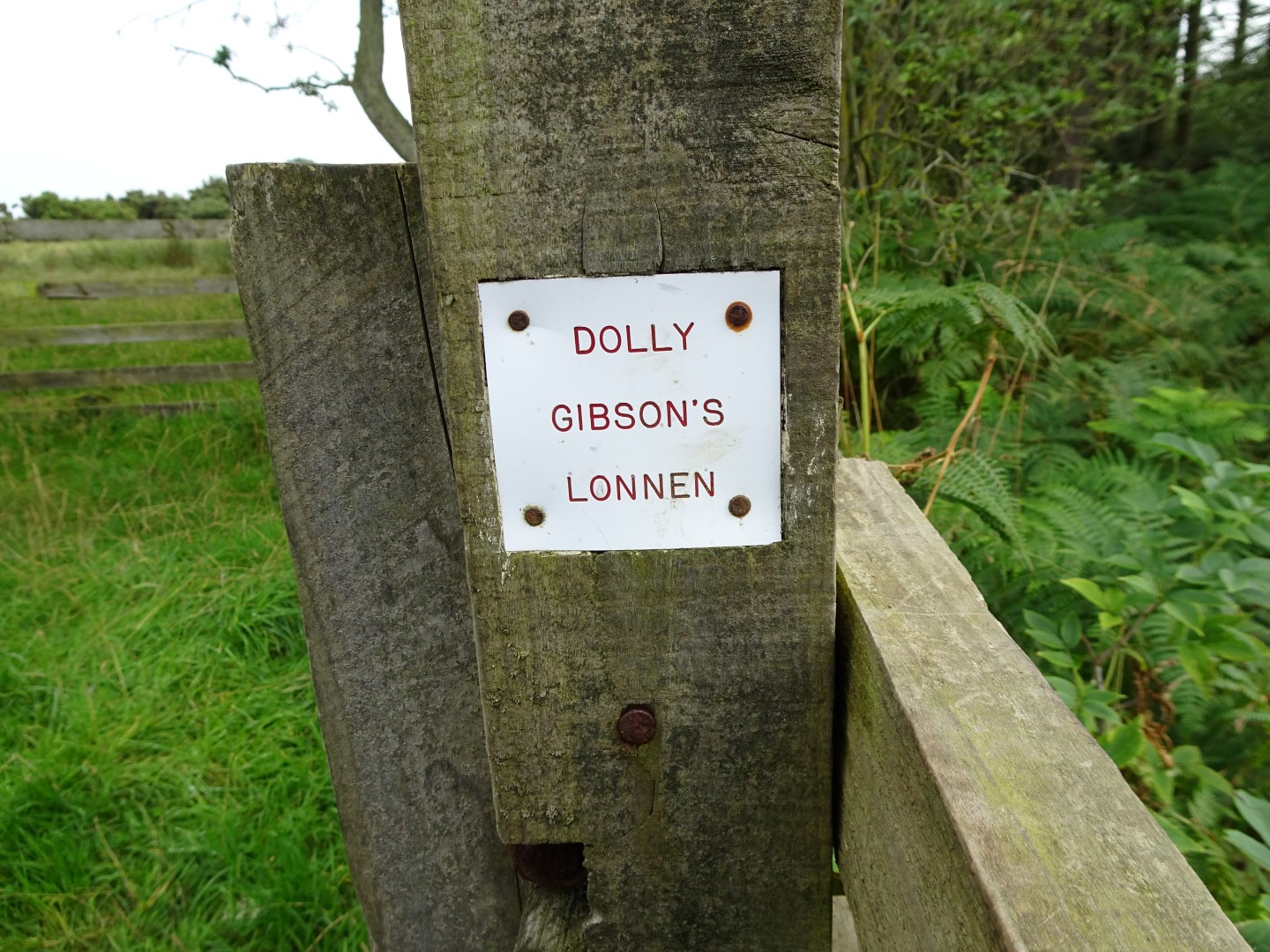
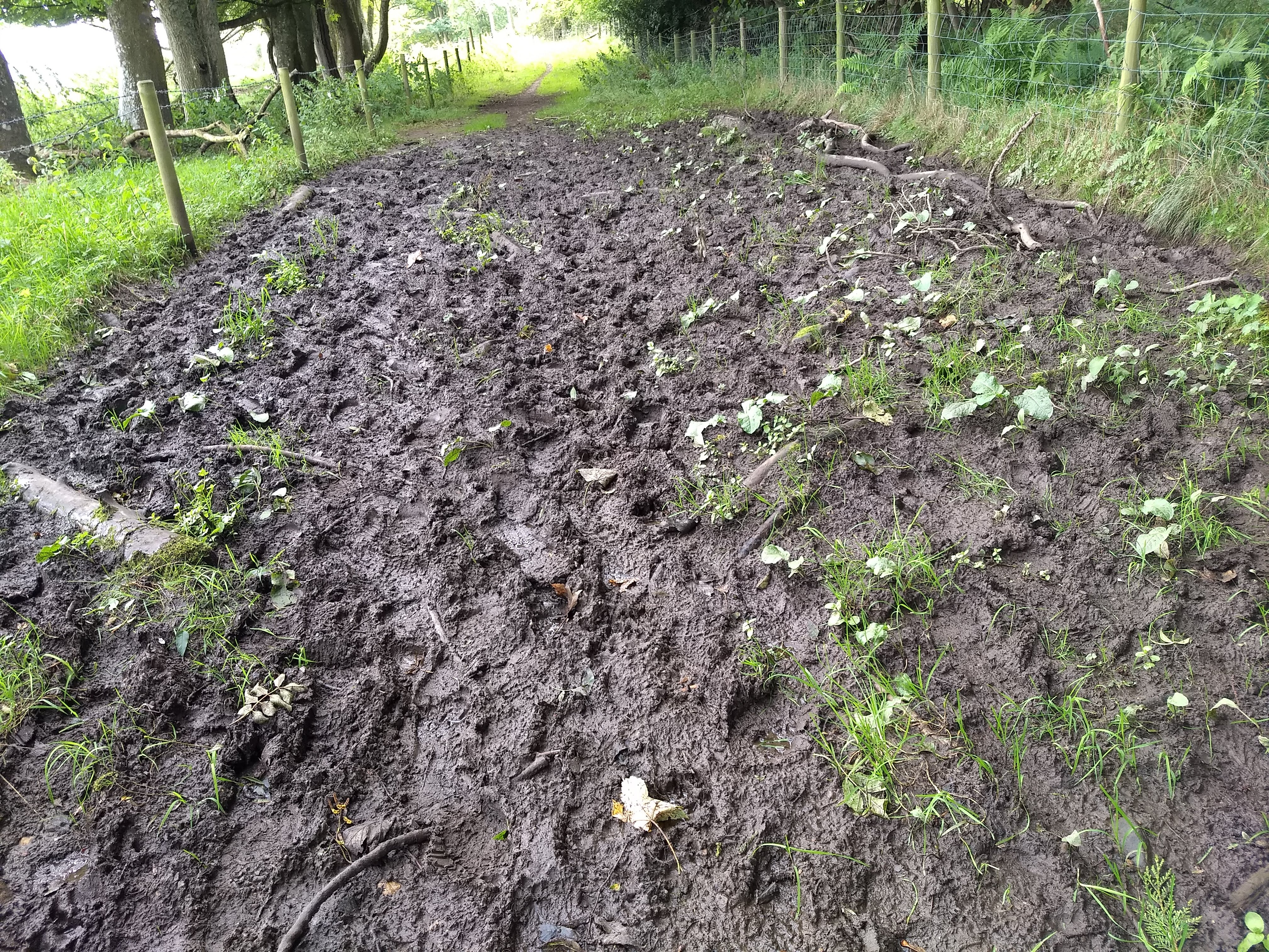
I came upon a sign oddly announcing, ‘Dolly Gibson’s Lonnen’. No-one seems to know why this stretch of the path is so named or even who Dolly Gibson was. It’s nice that, in these days of information being available every second of the day, there are still mysteries such as this. Her section of the path was particularly clarty (a good Northumbrian word for muddy) and I had visions of the monks, knee deep in the stuff, struggling along with St. Cuthbert’s body!
I walked through the village of Fenwick where a few other walkers were staying. To me it was the epitome of a ‘one horse town’ but without the horse, or even a pub! ☹
Then I had to face the crossing of the A1 and it brought to mind taking my life into my hands when crossing the very busy A19 during the Coast to Coast Walk some years ago but the A1 was a piece of cake and I nimbly dashed between the lorries, walked down a lane and crossed the East Coast Main Line railway tracks, looking carefully each way! A path went to the right giving me my first view of Lindisfarne and it was breath taking, especially now that the weather had cleared up.
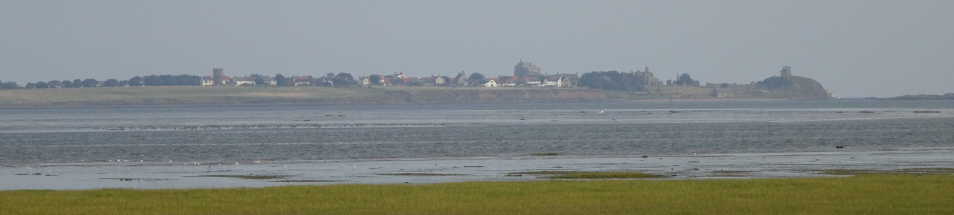
Soon I reached Beal Sands and a long line of World War II concrete structures which I assumed to be tank traps or some such things and, not long after that, I was at the start of the causeway to the island,
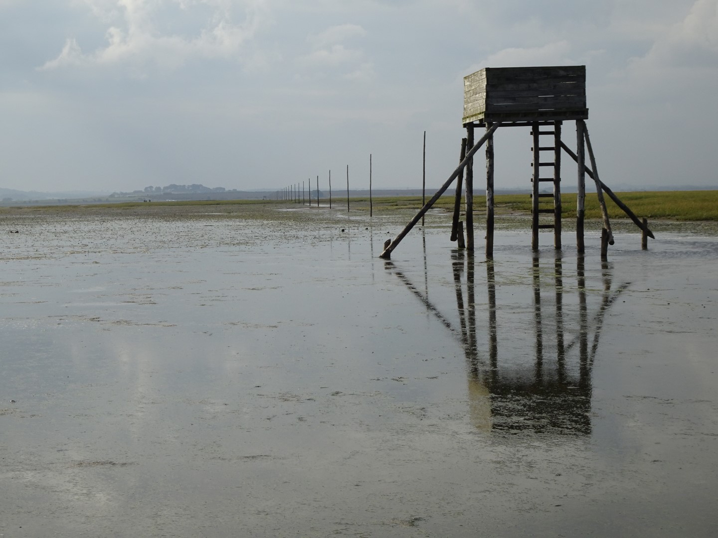
I waited for a while for my support team to arrive and for the tide to go out a bit further, changed from walking boots into an old pair of trainers and trepidatiously headed off to cross the sands. The route follows the causeway for a couple of hundred metres or so but, after crossing a deep channel, off onto the sands I went. It was, of course, wet underfoot but the sand was firm and the line of large marker posts impossible for even me to miss; plus, there was a ‘sanctuary’ for anyone caught by the tide.
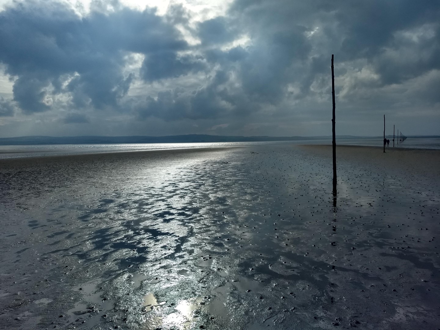
The crossing is about 2½ miles in total and it was absolutely wonderful as the sun came out and almost deserted as people walked and cars whizzed across the causeway some distance away. Towards the end the water was thigh deep and one or two of the other people crossing weren’t happy at that point but I was in my element. As I came off the causeway I got talking to a cyclist. He told me that his great-great-grandfather had had a butcher’s business on the mainland and used to come over to the island to sell his meat. One January winter’s day the tide caught him and he was swept away. The cart with his dead horse was recovered later but the butcher’s body was never found.
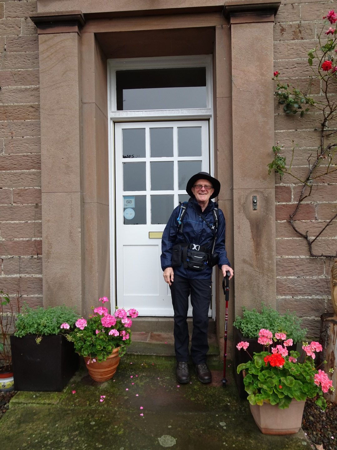
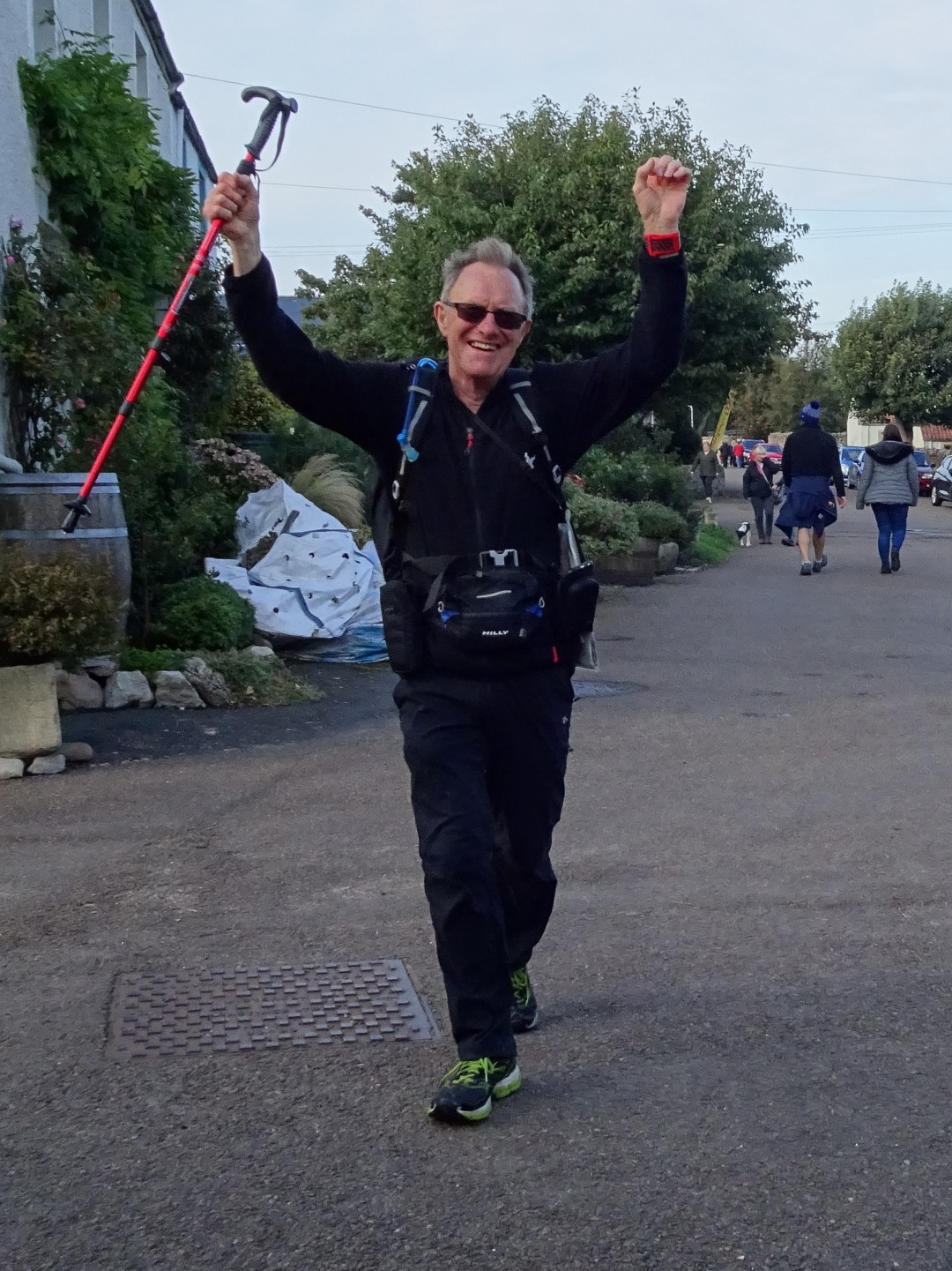
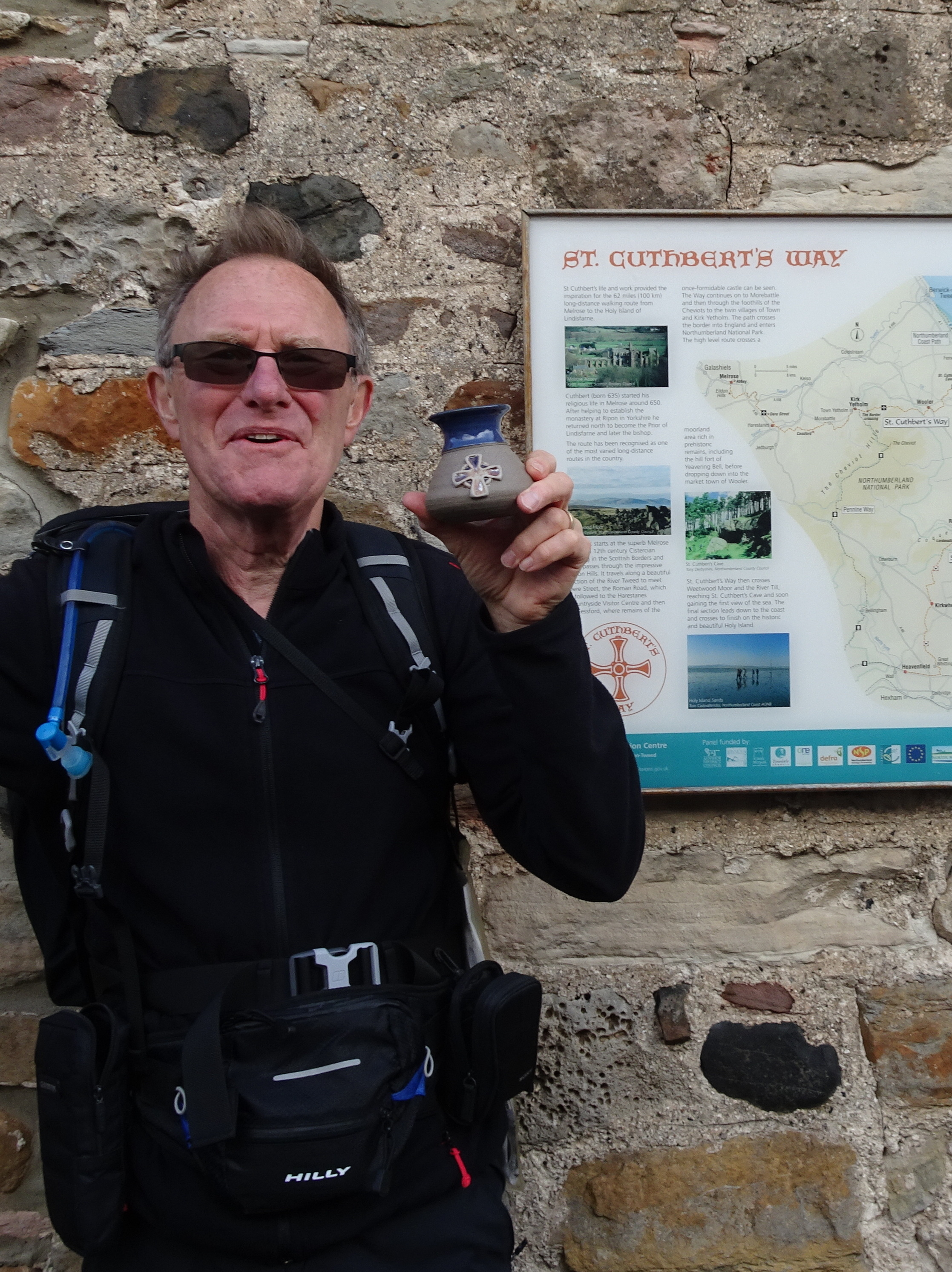
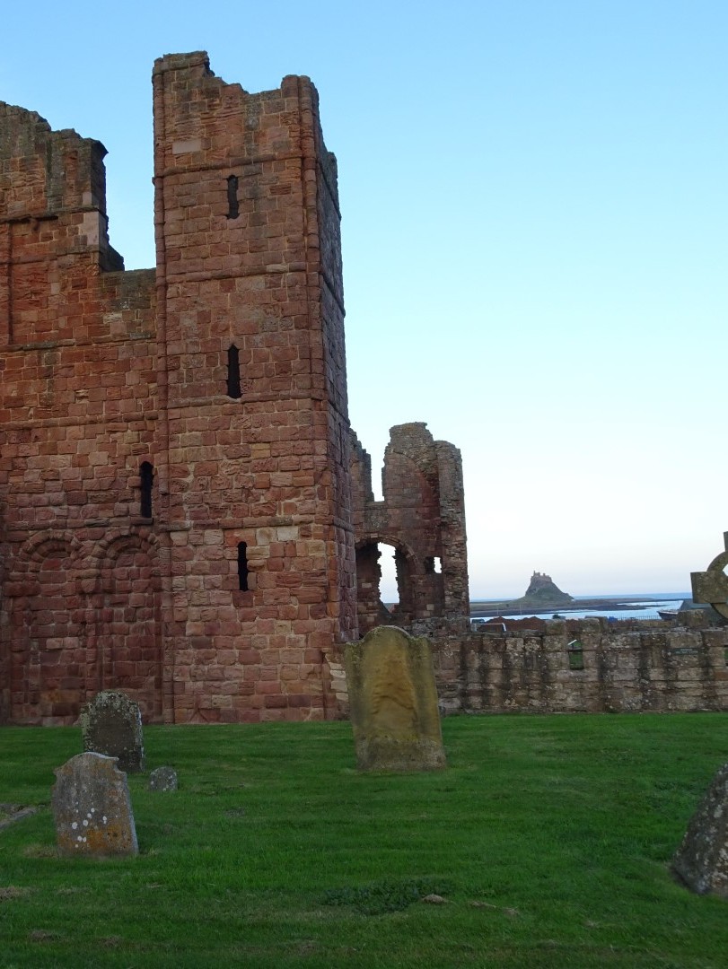
Back on dry land I completed the mile or so to the finish through thronging crowds of visitors, most of whom had come to the island for the few hours between tides. I found my way to the ‘finishing line’ outside Lindisfarne Abbey Visitors’ Centre where, disappointingly, there was no fanfare of trumpeters to greet me but Noelene was there with a cup of Lindisfarne Mead, rather than the traditional Champagne, to celebrate the completion of another long distance walk. As you can see it was an hair raising finish!
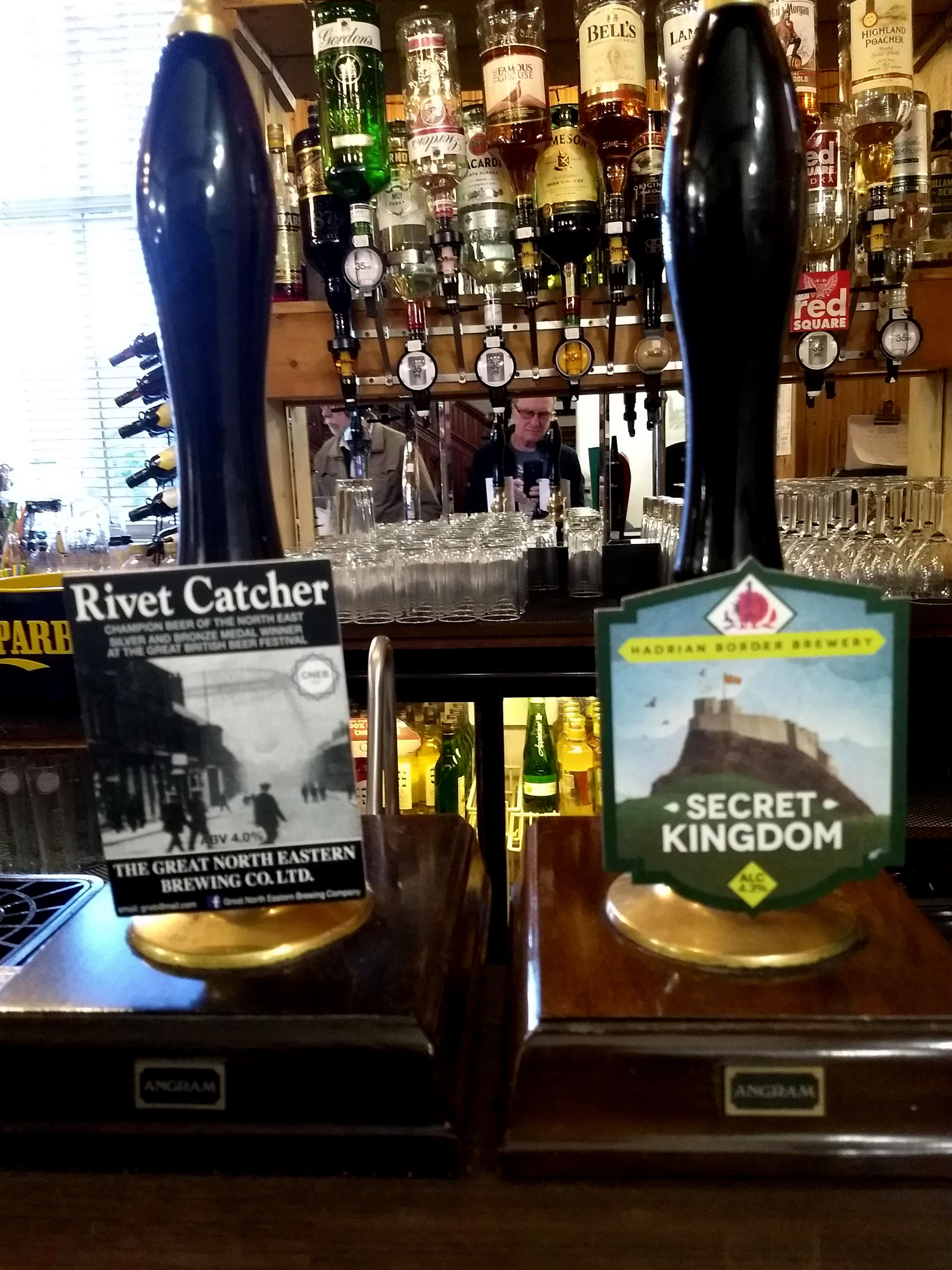
Later we walked around the village now very quiet after the departure of the day trippers. We took a look at the deserted Abbey and the castle in the distance then ate at the Ship and Anchor which Sean highly recommended, having good local beers and excellent food. The Rivet Catcher was especially good and I did slightly ‘over-indulge’! But, hey, it was the last night and the wonderful journey was over.
Day 4 in Summary
The Route
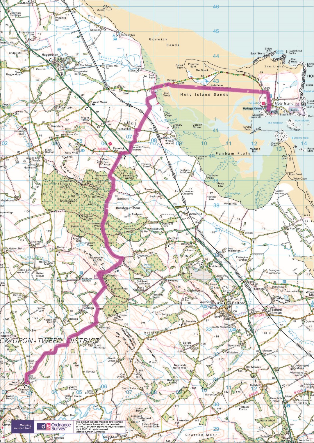
Elevation
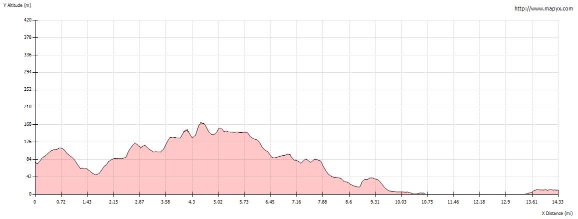
Day 4 Stats
Walking Time Distance Moving Average Ascent Descent
6:58:40 (hh:mm:ss) 14.80 ml/23.69 km 2.25 mph/3.6 kph 388 m/1,280 ft 454 m/ 1,498 ft
Minimum Elevation Maximum Elevation Calories
-10 m/-33 ft 177 m/584 ft 1,280
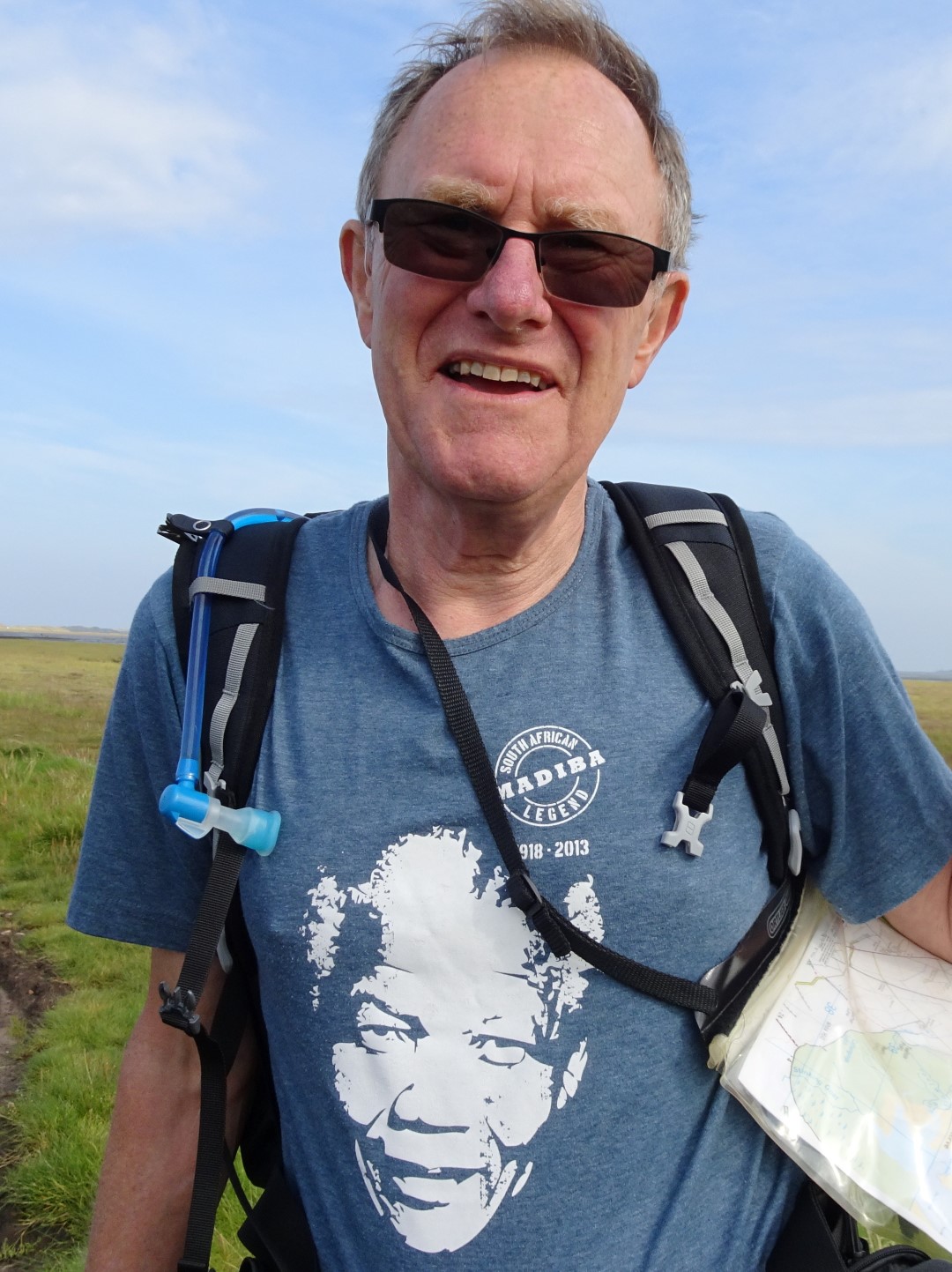
Tee Shirt of the Day
I bought today’s tee shirt in South Africa at Howick, KwaZulu Natal, the place where Nelson Mandela, my greatest political hero, was arrested prior to the Rivonia trial when he and other anti-apartheid freedom fighters were sentenced to life imprisonment.
M’diba
Some Day 4 Images
[Slideshow "day4" not found]