“A Walk on the Moors” – John’s Pennine Way Ramble, July 1st – 16th 2000
This is a new front page for a very old (2000) website. Some of the links might not connect properly but I’m working on that!
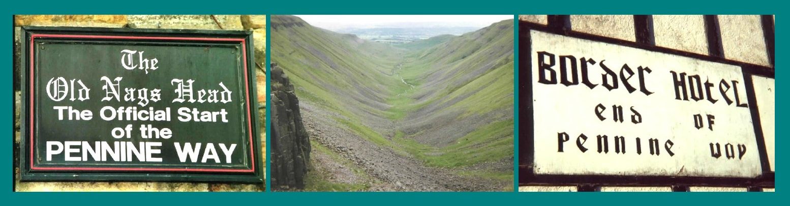
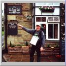
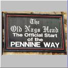
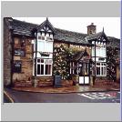
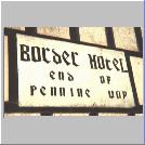
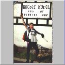
I left The Old Nags Head, Edale in the Derbyshire Peak District to walk Britain’s oldest and most famous long distance trail, The Pennine Way (here’s a map of the route), a distance of 268 miles (428 kms) on Saturday July 1st 2000 and arrived at The Border Hotel, Kirk Yetholm, just north of the Scottish border, on Sunday July 16th.
“You Must be B****y Mad!”
Why on earth walk all that way when you can take a bus? These are my reasons. What were yours if you done it or a similar trek?
My Itinerary
The walk took sixteen days and if you click here you can see the full itinerary. From the itinerary page you can also access separate pages for the individual days. You can also go directly to them from here:
Day: 1 – 2 – 3 – 4 – 5 – 6 – 7 – 8 – 9 – 10 – 11 – 12 – 13 – 14 – 15 – 16
What I Took With Me
The honest answer is that I took far too much. But go to my items page to see what I thought was necessary and what you might need for a similar trip.
Coming Up Soon Eventually
I’m planning a few special features on how the Way’s marked, how to cross fences and walls, cairns (what are they and what are they for?), the good and bad of Pennine Way accommodation and anything else you let me know you’d like to see (other than my a**e!)
Please be patient and if, in the meantime, you’ve anything to contribute please mail me at john@gillatt.org. You can go to our homepage by clicking here.